Category
Uncategorized


HUGHES is a FAA Certificated and ICAO endorsed Air Navigation Services Provider, providing the latest technology in Performance Based Navigation (PBN) and Conventional Instrument Flight Procedure design, validation and maintenance services.
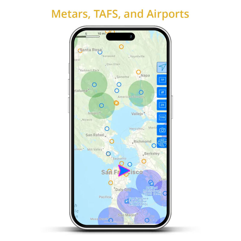
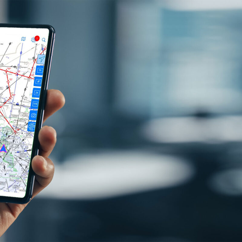
The HUGHES APP
The HUGHES APP, get NAVIGATION & WEATHER on the FLY.

© 2026 Hughes Aerospace Corporation.